Geography of Cameroon
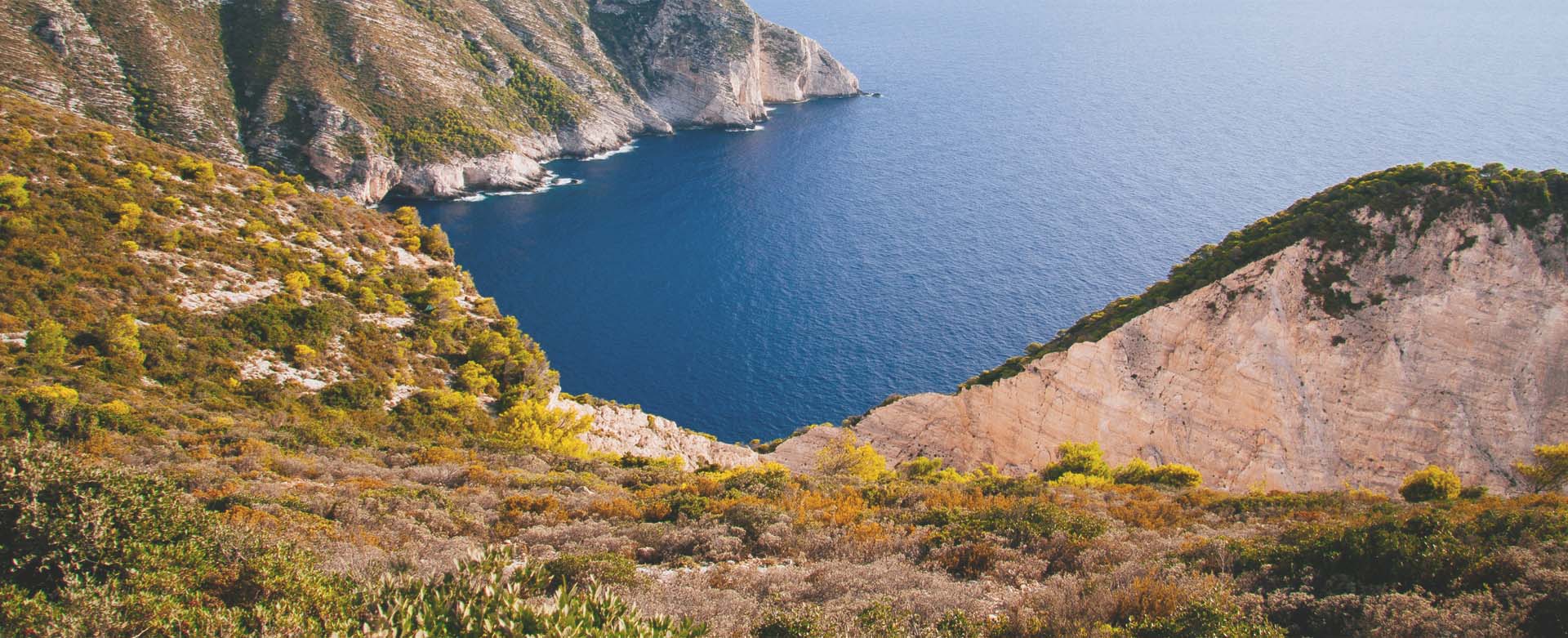
Described in tourist literature as ‘Africa in miniature', Cameroon is the 53 rd largest country in the world, a little larger in size than the Californian state of USA. Even with its limited area, Cameroon is endowed with all major climates and vegetation prevalent in the African Continent like coast, rainforests, mountains, savannas and deserts. Mount Cameroon, the highest peak in the country is also an active volcano which greatly affects the climate and vegetation of the country.
Location- Located in the western part of Africa, Cameroon is bordered by the Atlantic Ocean on the South West and shares its land boundary with a whole range of African Republics. Yaoundé the capital city, located in the South central part of the country falls at 03.50°N and 11.35 ° E.
Border Countries- Shaped like an elongated triangle, Cameroon shares its borders with 6 countries. The total land boundary length accounts for 4,591 km, while the coastline measures 402 km. The bordering countries are:
East: Central African Republic
North: Chad
North East: Chad
West: Nigeria
North West: Nigeria
South: Equatorial Guinea, Gabon, Congo
Area- Total area covered: 475,442 sq km
(1206 Km extending North to South)
(717 Km extending from East to West)
- Land: 469,442 sq km
- Water: 6,000 sq km
Climate- Cameroon experiences two distinct climatic areas in its northern and southern regions. The temperature in the coastal area ranges between 22°C to 29°C And has two dry seasons between November to March and June to August, while in the northern parts, the temperature ranges between 23°C to 26°C. However in the extreme north, the temperature can reach 50°C during the dry season between October and March.
Rainfall-
- Coastal Areas: 250 and 400 cm
- Inland South: 150 and 250 cm
- Western Slopes: 600 to 900 cm
- Central Plateau: 150 cm
- Northern areas: 60 cm
Land Topography- Cameroon has four geographical regions.
- The western lowlands, about 100 km in width, rise about 600m from sea level and extend along the Gulf of Guinea.
- The northwestern highland is home to Mt. Cameroon, the only active volcano and highest peak in West Africa standing tall at 4095 m. This region consists of forested volcanic mountains reaching to the heights of about 2,440 m.
- The central plateau region, including the Adamawa Plateau, standing at a height of 900 to 1,500 m, extends towards the east from the western lowlands. The plateau also extends from the northwest highlands to the Central African Republic border and northward to the Bénoué River. This transitional area gives way to the savanna.
- The vast savanna plains lie essentially in the northern region and slopes down to the Chad Basin.
Of the two main rivers, Bénoué is navigable during a large part of the year while Sanaga remains non-navigable. A part of Lake Chad also falls within the territory of Cameroon.
Land Usage- The natural resources of Cameroon include petroleum, bauxite, iron ore, timber, and hydropower .
Arable Land: 13%
Permanent Crops: 2.52%
Other Crops: 84.94%
Agriculture commands about 70% of the economy, producing crops like coffee, cocoa, cotton, rubber, bananas, oilseed, grains, and root starches. Timber is one of the major sources of income covering about 37% of the total Cameroonian land area.
Natural Hazards- Having the only active volcanic range in West Africa within its territory has its own threats. Periodic releases of poisonous gases from Lake Nyos and Lake Monoun volcanoes have been a constant source of disaster for the country killing thousands of people over the years.